
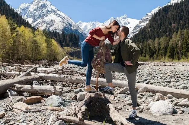
From Platform to Peak: Edge Walks of the Peak District
Arrive by Rail, Step onto Gritstone

Classic Eastern Edges in Day Hikes
Stanage from Hathersage: mills, moor, and millstones
Froggatt and Curbar via Grindleford: river to ridge
Bamford Edge loop: water, stone, and evening glow
Weather, Safety, and Navigation Confidence
Forecasts and mercurial microclimates
Consult a mountain-specific forecast to anticipate wind chill and precipitation, not just city conditions. Expect edges to feel wilder than valleys, with squalls arriving quickly and clearing just as fast. Build break spots behind boulders, and prefer synthetic layers that tolerate drizzle. If the sky lowers, shorten the loop without regret. Storm-fueled light can gift unforgettable photographs, provided your insulation, gloves, and headtorch are already in your pack before clouds gather.
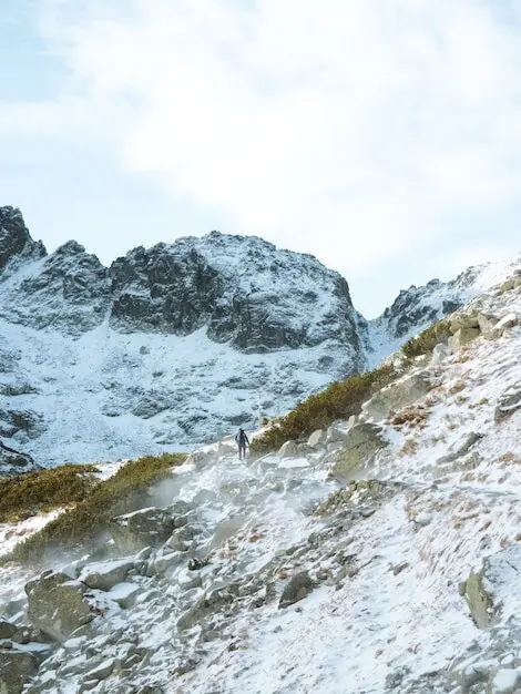
Wayfinding on open moor and worn trods
Edges usually promise clear lines, yet junctions and sheep trods can mislead. Carry a paper map paired with a compass, let GPX supplement rather than replace skill, and glance frequently at landmarks while visibility stays generous. Identify bailout descents to lanes or woodland. Note stream crossings after rain, and track your progress between named tors or boundary stones. Navigation thrives on calm, repeated checks, not heroic guesses when mist cloaks familiar silhouettes unexpectedly.
Emergency readiness and thoughtful check-ins
Pack a small first-aid kit, foil blanket, whistle, and reliable headtorch with spare batteries. Share your itinerary and latest return train with a friend, texting short updates during lunch or before committing to extensions. If trouble arises, call the emergency number and request Mountain Rescue via Police, staying put if advised. Most days end cheerfully; readiness simply frees the mind to notice skylarks, wild scents, and that welcoming station lamp glowing at dusk.
Stories in Stone: Geology, Craft, and Courage
Spring guardianship on nesting moor
Heather, bracken, and autumn’s cinematic light
Winter clarity and careful footing
Three Train-to-Trail Itineraries to Try
Hathersage to Stanage, onward to Bamford
From Hathersage, weave through lanes and woods to Stanage’s sweeping crest. Follow the edge north, visiting millstones and wind breaks, before descending heather shoulders toward Bamford Edge’s final flourish. Drop to Bamford station for a satisfying A-to-B arc. Expect five to eight hours depending on pauses, with generous views almost the entire way. If weather tightens, shorten by looping back to Hathersage on bridleways that stay sheltered below the grit skyline.
Grindleford to Froggatt and Curbar, café finale
Step off at Grindleford and meander beside the river toward Padley Gorge before rising to Froggatt Edge’s airy balcony. Continue across Curbar’s sculpted blocks, detouring for viewpoints that frame Derwent waterways. Descend toward Baslow or loop via Longshaw for an elegant return. Allow four to six hours with time for cake, photos, and birdwatching. If paths feel busy, slip onto parallel trods through birch, rejoining the ridge whenever the horizon calls again.
Gear, Food, and Community Connections
01
Footwear and pack that earn their keep
Choose waterproof boots with confident grip for wet grit and peat. A light, stable daypack with hip belt rides comfortably when gusts nudge you along the edge. Put headtorch, gloves, and a compact first-aid pouch within easy reach. Zip precious items into an inner pocket. A simple sit pad turns cold rock into a picnic throne, encouraging thoughtful breaks that keep choices calm and unhurried while chasing trains only on timetables.
02
Cafés, refills, and local flavor
Station-adjacent spots and village cafés serve restorative soups, buns, and tea that tastes like triumph. Carry a reusable bottle, top up where welcomed, and stash emergency snacks so views never force a rushed descent. Buying locally spreads your joy into the community that maintains paths, runs buses, and cheers walkers. Ask for route wisdom with humility; you might hear a treasured tip about a sunset boulder or quiet shortcut through birch.
03
Share your story and join the chorus
Post your route reflections, wildlife glimpses, and station snapshots, highlighting rail-to-trail simplicity that others can repeat. Invite questions, answer kindly, and link to safety resources and access guidance. Celebrate good practice—dogs on leads, litter packed out, gates closed—so admiration turns into stewardship. Consider volunteering for path workdays when schedules align. Your voice helps edge walking remain welcoming, sustainable, and joyous, journey after journey, train bell to train bell across changing light.